Satellite Imagery from College of DuPage
U.S. Visible Loop
U.S. Water Vapor Loop
U.S. Infrared Loop
North-central U.S. Visible Loop
North-central U.S. Water Vapor Loop
North-central U.S. Infrared Loop
Upper Midwest Visible Loop
Upper Midwest Infrared Loop
Southern Minnesota Visible Loop
Southern Minnesota Infrared Loop
GOES-16 M1 Visible Loop
GOES-16 M1 Infrared Loop
GOES-16 M2 Visible Loop
GOES-16 M2 Infrared Loop
Satellite Imagery from GLERL
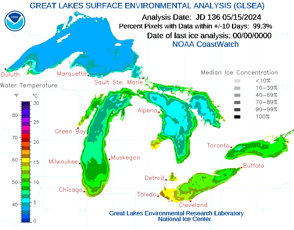
Great Lakes Surface Environmental Analysis
|
Radar Imagery from College of DuPage
U.S. Composite Radar Loop
North-central U.S. Composite Radar Loop
Upper Midwest Composite Radar Loop
Southern Minnesota Composite Radar Loop
Radar Imagery from IEM
Upper Midwest Loop with Warnings
Single-site Loops with Watches and Warnings
Radar Imagery from Stormvis
CONUS Analyst
Radar Status from NWS
Level II Status
|